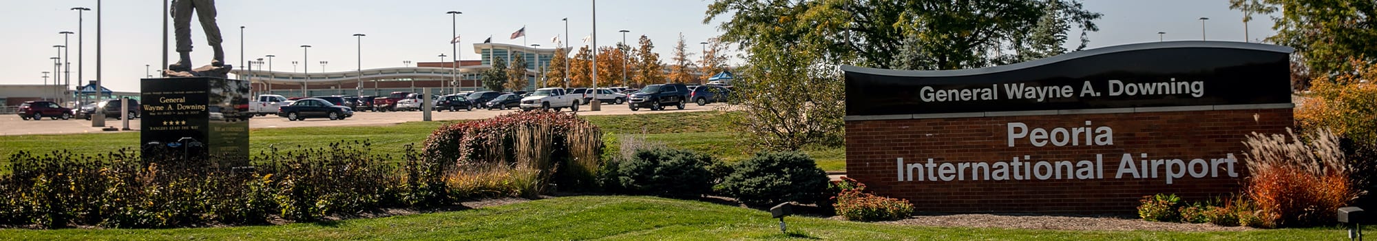
Located 7 miles West of Downtown Peoria, Peoria International Airport is a small-hub airport that served over 689,416 passengers in 2019.
3 airlines provide approximately 40 departures per day to 13 nonstop destinations from PIA. Created in 1950, the Metropolitan Airport Authority is governed by a nine-member appointed board and is responsible for sole jurisdiction and operation of PIA and Mt. Hawley Airport.
Total Passengers: 480,006 in 2021 / 326,861 in 2020 / 689,416 in 2019 Total Mail/Cargo Volume: 20 million pounds in 2021 / 17 million pounds in 2020 Total Air Carriers: 3 Total Freight Companies: 1 Total Non-Stop Destination Airports: 13 Daily Air Carrier Departures: approximately 40 Total Land Area: 3,500 acres Total Number of Boarding Gates: 13 Total Number of Commercial Flights Scheduled: 7,023 in 2021 Total Aircraft Landings and Take-offs: 44,801 in 2021
Elevation: 661′ Latitude/Longitude: 41.18.19N / 95.53.64W Runway 04: 8,004′ x 150′ CAT Runway 22: 8,004 x 150′ CAT I Runway 13: 10,104′ x 150′ CAT I Runway 31: 10,104′ x 150′ CAT I
Weather: Peoria ASOS (309) 697-3611
Mt. Hawley Auxiliary Airport
Mt. Hawley Airport is located in the heart of north Peoria’s business district, just a half mile south of the Route 6/I-474 interchange with Route 40 (Knoxville Rd). The airport’s location places it less than 10 minutes away from Caterpillar’s Mossville facilities, right across the parking lot from RLI’s corporate headquarters, and about 7 minutes from the headquarters of premium sunglass giant, Maui Jim, Inc.
1320 W. Bird Blvd Peoria, IL 61615
Phone: Counter (309) 693-2372 Operations (309) 697-8272 x 110, 24/7/365
Services: Attended 8:00am – 4:30pm daily, extended hours during summer. 100LL avgas and JetA fuel Self-service fuel available 24 hours with credit card Terminal access available 24 hours. Call (309) 697-8272 x 110 for code.
FAA Airport Code: 3MY Elevation: 793′ Latitude/Longitude: N40°40.47’ W89°36.81’ Runway 18-36: 4001′ x 60′ – asphalt, S-20, 0.5% up N Runway 36: REIL, VASI Airport Facility Directory: Volume EC, page 75 Instrument Approaches: VOR/DME-A from PIA VORTAC, RNAV (GPS) 18
Communications: CTAF and Unicorn – 122.7 Clearance Delivery on field – 121.6 Peoria Approach/Departure – 125.8 Peoria ATIS – 126.1